Home Page
Welcome to ELEO GDS LLC
ELEO GDS LLC is a pioneering company dedicated to closing the environmental data gap through innovative technology and comprehensive data integration. Our mission is to empower various sectors, including environmental conservation and urban planning, with actionable insights that promote sustainable decision-making.
Our Innovative 4D Platform
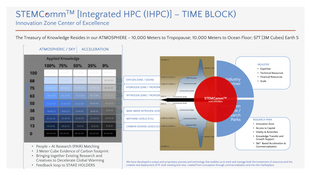
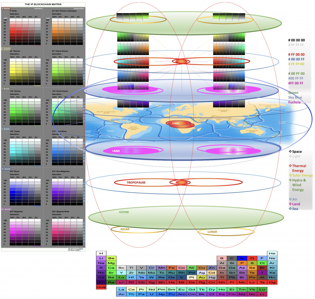
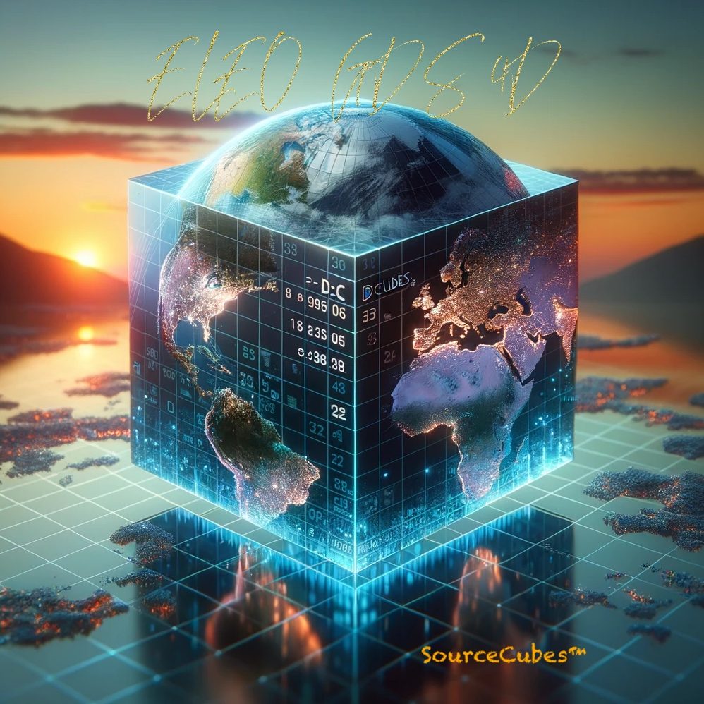
At the heart of our operations is our state-of-the-art 4D platform. This platform integrates precise geocoding with blockchain technology to create a robust spatial and temporal data system. By mapping 3m x 3m locations across the Earth’s surface and adding a time dimension, we provide a holistic understanding of geographic locations from the tropopause to the ocean floor.

Level 1: Data – Raw geographic, atmospheric, and oceanic data.
Level 2: Information – Contextualized data for analysis.
Level 3: Intelligence – Analyzed insights and patterns.
Level 4: Know-how – Practical application of intelligence in environmental conservation and urban planning.
Key Technologies
- Drones: High-resolution data collection from aerial perspectives, enabling precise mapping and real-time environmental monitoring.
- Satellites: Extensive geographic and atmospheric data capture, offering a broad overview of environmental changes over large areas.
- Artificial Intelligence (AI): Analyzes complex datasets to extract actionable insights, identify patterns, and support strategic decision-making.
- Blockchain: Ensures secure and verifiable data management, adding a temporal dimension to track changes over time and enhance data integrity.

Our cutting-edge technology and comprehensive approach make ELEO GDS LLC a leader in environmental data integration, providing unparalleled insights that drive informed decision-making across various sectors.
