About Us
Our Mission and Vision
At ELEO GDS LLC, our mission is to bridge the critical gap in environmental data by leveraging cutting-edge technology to provide precise, multi-dimensional insights from land, air, and sea. We are dedicated to empowering sectors such as environmental conservation, urban planning, and resource management with comprehensive, actionable intelligence. By utilizing advanced technologies like drones, satellites, AI, and blockchain, we aim to enhance decision-making processes, promote sustainable practices, and foster a deeper understanding of our planet’s complex systems.
Our vision is to become the global leader in environmental data integration and analysis, setting the standard for innovation and accuracy in geographic information systems. We aspire to revolutionize the way geographic and environmental data is collected, analyzed, and applied, creating a seamless 4D platform that offers unparalleled insights into the world’s most pressing environmental challenges. Through our efforts, we aim to drive progress in data accessibility, support the implementation of effective ESG (Environmental, Social, and Governance) initiatives, and contribute to a more informed and sustainable future for all.
Leadership
Octavia Jones, President A passionate leader and visionary, Octavia Jones heads ELEO GDS LLC while pursuing her studies in Anthropology at Princeton University. Her dedication to integrating advanced technologies in environmental data analysis drives the company’s mission forward.
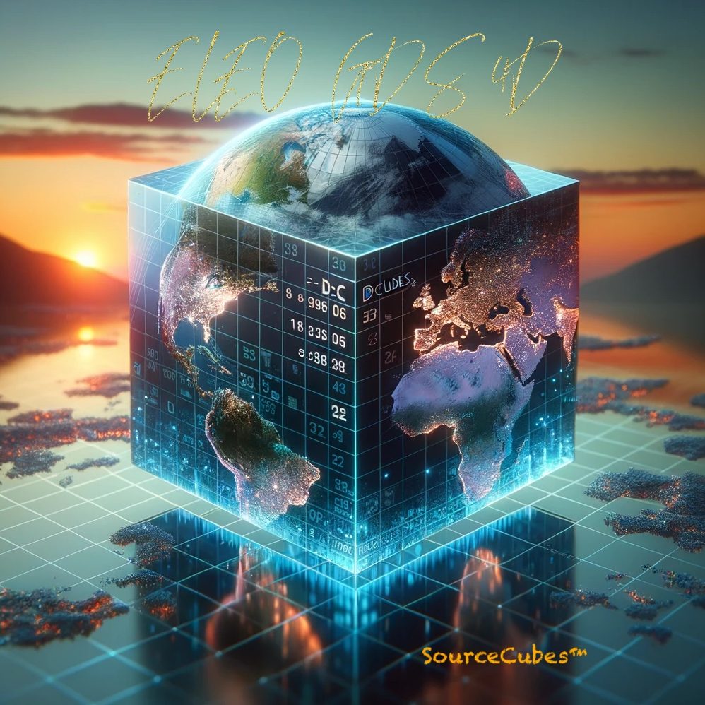
ELEO GDS LLC, a wholly owned subsidiary of SourceEnergy Group, is led by Octavia Jones, a student at Princeton University. Headquartered in Newport News, Virginia, near the DOE Jefferson Lab, ELEO GDS LLC leverages the world’s fastest high-performance computing (HPC) resources. The company utilizes a proprietary geocode system to collect and validate precise 3m x 3m square locations, forming the foundation for developing 3-meter cubes (Space) combined with Blockchain (Time). This innovative 4D platform enhances the understanding of geographic locations from the tropopause to the ocean floor, supporting various sectors in making informed decisions.

The data processing pyramid at ELEO GDS LLC includes:
- Level 1: Data – Raw geographic, atmospheric, and oceanic data.
- Level 2: Information – Contextualized data for analysis.
- Level 3: Intelligence – Analyzed insights and patterns.
- Level 4: Know-how – Practical application of intelligence in environmental conservation and urban planning.
Additionally, ELEO GDS LLC has been awarded the algorithm to process NASA MERRA-2 data, enhancing its capabilities with access to advanced GPUs.
